Army tests high-altitude network extension at Project Convergence
CAMP PENDLETON, Calif. — The Army is using Project Convergence to further test out the ability for aircraft, primarily high-altitude drones, to extend the range of its network.
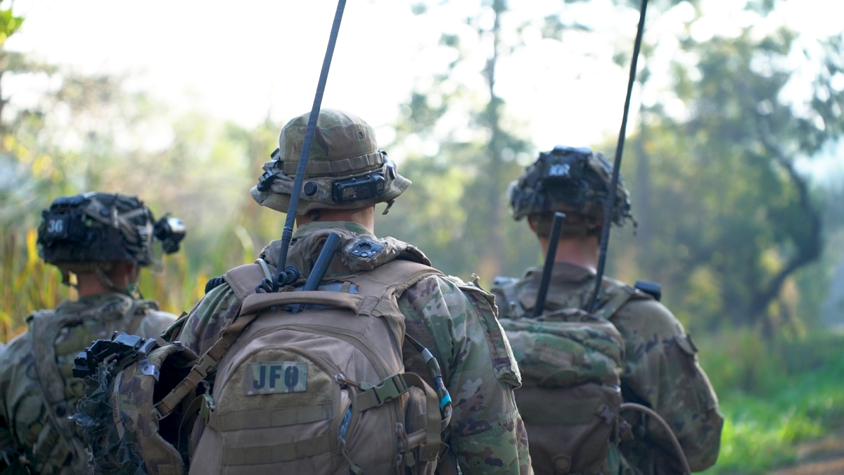
The so-called aerial tier network extension concept envisions putting radios in the air to allow greater connectivity of forces that might be dispersed on the battlefield, or, in an Asia-Pacific scenario, thicken the network from dense foliage interference.
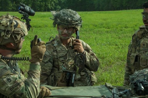
“It’s just another way to extend the network … Being out in the jungle and being in the Pacific, it’s probably one of the hardest places to really get the mesh network actually be robust,” Col. Shermoan Daiyaan, project manager for tactical radios at program executive office for command, control, communications-tactical, said in an interview. “These are just layers of PACE and tools for extending the network that we are working.”
PACE refers to primary, alternate, contingency and emergency forms of communication. Units must have multiple comms paths available in case one is thwarted by jamming or other challenges from a contested environment.
Project Convergence is hosted by the Army and provides an experimentation venue for the joint services and multinational partners to test capabilities and concepts associated with the Pentagon’s top priority called Combined Joint All-Domain and Control (CJADC2).
The CJADC2 concept aims to make systems across the entire battlespace from all the U.S. military services and key international partners, more effectively and holistically networked and connected to provide the right data to commanders for better and faster decision-making.
The Army’s network team, along with the future vertical lift cross-functional team, has been experimenting with the aerial tier network extension in the Pacific already with the 25th Infantry Division. Officials said they’ve had success bridging the network over mountain ranges and through dense foliage.
One of the main systems tested at Project Convergence was the K1000ULE from Kraus, a Group 2 UAS. The drone is solar powered and can fly at 18,000 feet for very long periods of time.
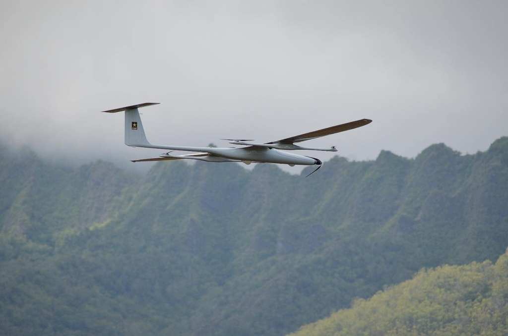
For phase two of the Project Convergence Capstone 4 experiment, Army forces will be at the National Training Center at Fort Irwin, California. Officials noted that with the K1000ULE flying at that height, the entire National Training Center — which is roughly the size of Rhode Island — can be covered, as the drone will likely be flying the whole time.
Capstone 4 will focus on increasing the aerial tier resiliency and range to enable freedom of maneuver as well as command-and-control on the move.
The ongoing experimentation is helping the Army figure out a variety of concepts associated with the technology such as what types of platforms work well, what distances have to be covered, how high to fly, who operates the systems and at what echelon they’re managed.
While the K1000ULE is one aircraft the service is experimenting with, there are other unmanned systems that could be used — such as the Altius-600 — that fly at lower altitudes, or even manned platforms such as helicopters.
There could also be a series of aircraft working together to extend and thicken the network, all of which may have access to different waveforms and satellite communication constellations.
“The beauty of mesh networking is every radio, every node becomes a retrans. You will use this when you are having difficulty or you’re going to need to extend your range from what’s expected. I think the bigger places when you have deep and dense foliage and need to maybe bridge two different networks as well, two different units,” Daiyaan said.
Daiyaan also noted that this capability could save soldiers’ lives because it reduces the need for troops to move to vulnerable positions to extend the network.
“When I was a private, you would be up on the hill because you needed to extend the network. You’d be up on the hill and that’s the first place that they bomb,” he said. “In this case, you can move the hill and move the network.”
However, the drone itself could also become a target for the enemy. As part of experimentation, officials are gaming when to send it up and how to also management the signature it puts out. Modern and sophisticated adversaries can now pinpoint forces based on their electromagnetic signatures — meaning the simple pushing of a radio could be a death sentence.
“Everybody’s been very conscious of their signature management. But in this case, the version that we experimented with out in 25th had multiple payloads. Each waveform has different characteristics and it’s configurable as well,” Daiyaan said. “Having multiple payloads on one aircraft helps with signature management and PACE.”
Ultimately, it’s about increasing resiliency and options for commanders. Daiyaan said the combination of these types of unmanned aerial systems — along with the tethered drones that forces can use to extend the network as they move around the battlefield and take them up and down quickly — provides more options.
Future plans include taking the capability to the 101st Airborne Division for further experimentation, Daiyaan said, to continue to refine it, let units learn how to employ it and place it where they need it.