U.S. military deploys Maven Smart System for Hurricane Helene disaster response
The U.S. military is using one of its main data analytics and common operational picture tools as part of its response efforts to aid in Hurricane Helene relief.
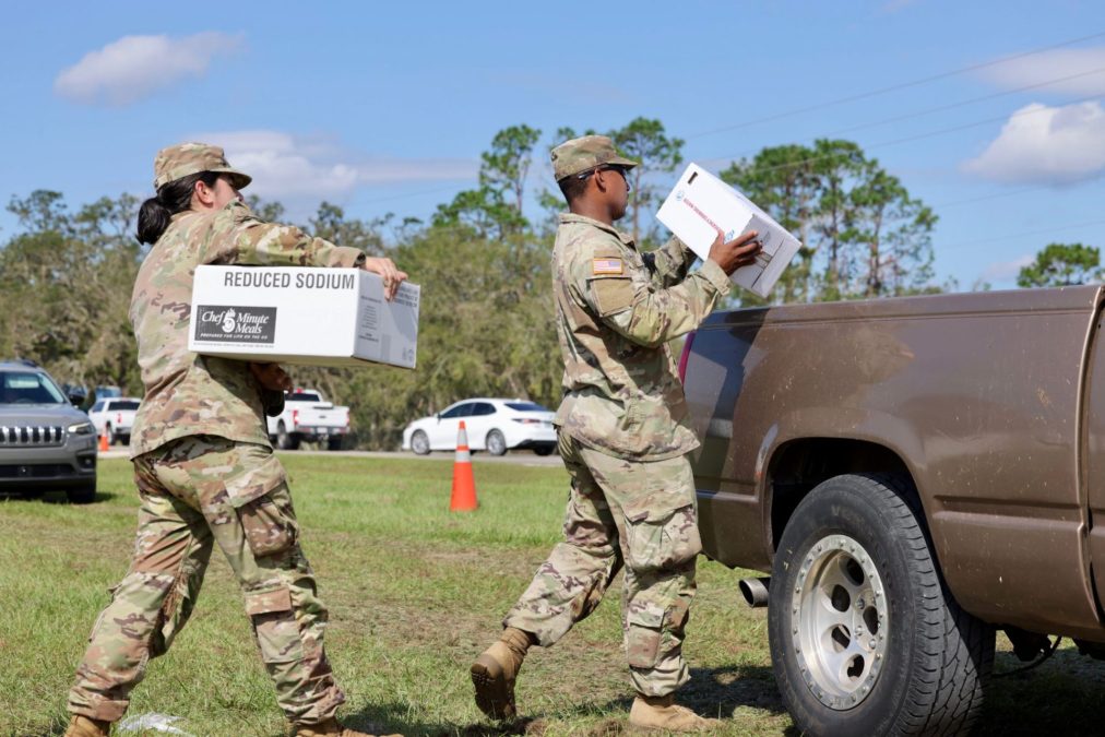
Several active-duty components, defense agencies and the National Guard are aiding in the relief efforts as requested by the states affected under what’s known as “defense support to civil authorities,” which allow the military to be employed domestically when asked.
The Maven Smart System — an AI-enabled platform for geospatial visualization of data that was designed for use by combatant commands and other units to facilitate battlespace awareness, global integration, contested logistics, joint fires and targeting workflows — is being deployed to aid in the relief efforts.
While common operational tools and data systems have been used for disaster relief in the past, this marks the first time the Maven capability has been used for a hurricane.
“We’re not unfamiliar with getting in data, aggregating data, putting data together in support of our defense support of civil authorities mission … It’s not the first time that we’ve done this before, it’s not our first rodeo,” a defense official told reporters on a call earlier this week. “But certainly every time we go through one of these events, there’s more to learn, more data to go after and there’s always a new data source, there’s always a new problem set within this environment … What we’re trying to do now is we’re trying to make this endurable so that our data connections and relationships with the interagency, the National Guard, XVIII Airborne Corps, are all more endurable over time.”
While the officials who briefed reporters declined to lay out specific metrics for success for using Maven in these relief efforts, they noted the significance of the deployment is developing the enduring capability and relationships with others, which eventually, with more practice, will garner concrete metrics for success in these types of operations.
“Our job right now is just to identify and bring in authoritative data from multiple different sensors and systems to help create a better understanding of that environment to more precisely apply the resources that we have in support of the dual status commander and the National Guard,” the defense official said.
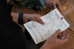
The military is working to feed the data it is gathering directly to FEMA and other first responders. That includes general mapping data and data from various sensors that provide insights into things like road closures, communications, force movements, and which areas have yet to be serviced.
The system can also help with logistics by bringing in that data so that in near real-time, based on the point of need and survey data from FEMA, food, water, medical supplies or other goods can be reallocated to the best locations to serve citizens.
“One of the benefits of this platform [is] being able to be able to take in different data sources and be able to visualize those in a way that makes sense for decision makers,” a second defense official told reporters.
As part of the relief efforts, the military is trying to use publicly available data to the fullest extent possible, eschewing anything that might be DOD or battlefield specific.
“We’re looking at different unique capabilities that we will only have in a military use case that are not necessarily specific to us, but that can get data out of some of these environments that have little to no communications capabilities back into the FEMA dashboard so they understand where to redistribute supplies and things,” the second defense official told reporters. “I think being able to bring together this unified single pane of glass common operating picture with the team here is really given us a better situational awareness and being able to respond faster to hopefully facilitate FEMA getting support and supplies out quicker.”
Part of the power of the system is providing a four-dimensional picture for those on the ground. Officials described that overhead aerial imagery only offers a two-dimensional picture. But when that is combined with force movements on the ground and timing, it paints a much more detailed understanding of the environment for where to apply people and resources.
The goal is to shorten the path from data collection to data visualization so that first responders and others can make decisions faster.
Officials explained that Maven helps aid that speed to decision-making because individuals no longer have to sit in a room and manually upload information — such as what goods are going where — into spreadsheets. Now, the data is provided through Maven, enabling individuals to analyze it, provide context and send that to the decision makers. It also places all the data in a single place as opposed to having to look across several different spreadsheets.
While officials on the call with reporters declined to offer how the use of Maven for the relief efforts could help tune the system for operational use on the battlefield, one of them explained that supporting the relief efforts has provided an opportunity to look at an environment a little outside of the active-duty military’s typical operating scenarios, in a supporting role to facilitate data aggregation into a single viewing platform.
“As we go through these different reps and sets and iterations and something where we’re outside of our comfort zone, that will naturally enable us to be more effective no matter where we go,” the second official said.