NGA buys maritime data to help Indo-Pacific Command, via first-ever CSO

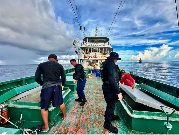
The National Geospatial-Intelligence Agency revealed this week that it tapped Orbital Insight to provide commercial data assets for tracking illegal fishing and other illicit maritime activities in the Asia-Pacific region, via the nascent Project Aegir.
This award to the California-based geospatial analytics company — worth up to $2 million in pilot funding — is historic as it marks the result of NGA’s first-ever commercial solutions opening (CSO) solicitation.
“If this is successful, we may look to the CSO pipeline for other acquisitions,” an NGA spokesperson told DefenseScoop on Tuesday.
In conversations over email this week, the spokesperson and NGA Director of Commercial Operations Devin Brande briefed DefenseScoop on the recent selection process and how the agency is thinking about innovating its acquisition methods.
This CSO is one component of Project Aegir, NGA’s fresh attempt to shape a multiple-vendor approach to buying unclassified intelligence products and ultimately enabling a commercial architecture to sense and make sense of illicit maritime activity.
The agency launched Aegir earlier this year in response to a direct request from U.S. Indo-Pacific Command, which oversees military operations in a region where illegal fishing is a top maritime security concern.
“Rather than telling industry what to give us, we’re asking them to show us what’s possible, unlocking new potential and leading to a stronger industry-government team,” Brande told DefenseScoop on Wednesday.
“Because of the evolving, global nature of the mission NGA recognizes we have to use all tools available to provide the GEOINT capabilities our customers need,” he said.
In total, 82 teams competed for the agency’s first-ever CSO.
From those, a dozen finalists were selected by a panel of analysts and collection managers from NGA and Indo-Pacom to make their pitches in-person at the Defense Innovation Unit headquarters in Mountain View, California, earlier this month, according to an NGA press release.
The finalists were: Airbus U.S. Space and Defense, Anduril Industries, BlackSky Geospatial Solutions, Freedom Technology Solution Group, HII Mission Technologies, Orbital Insight, NV5 Geospatial, Planet Labs Federal, Royce Geospatial Solutions, Space-Eyes (Channel Logistics, LLC), Striveworks, and Ursa Space Systems.
During the pitch sessions, each of the finalists were evaluated “on their ability to fuse diverse data types to both identify maritime vessels and to increase confidence in using automation to confirm the characterization of maritime activity,” per the release.
The U.S. Coast Guard Maritime Intelligence Fusion Center Pacific also participated in the pitch sessions at DIU to supply mission-based input.
Notably, the agency’s entire execution of this CSO solicitation — from public announcement to selection — unfolded in less than 90 days.
“The biggest thing here is that we’re exploring new ways of speeding up acquisition to get new capabilities to our customers, and warfighters, faster. Ninety days for a solicitation to award is insanely fast. So even though it’s a pilot, it’s very meaningful from an acquisition perspective,” the NGA spokesperson told DefenseScoop. “The fact that we’re looking at wholly commercial capabilities for this means that we can speed up the process.”
Over the next five months, pilot testing will be conducted on Orbital Insight’s capabilities. The results of those tests will determine whether NGA will pursue any long-term contracts or broader acquisition efforts.


